Vulnerable Area Maps
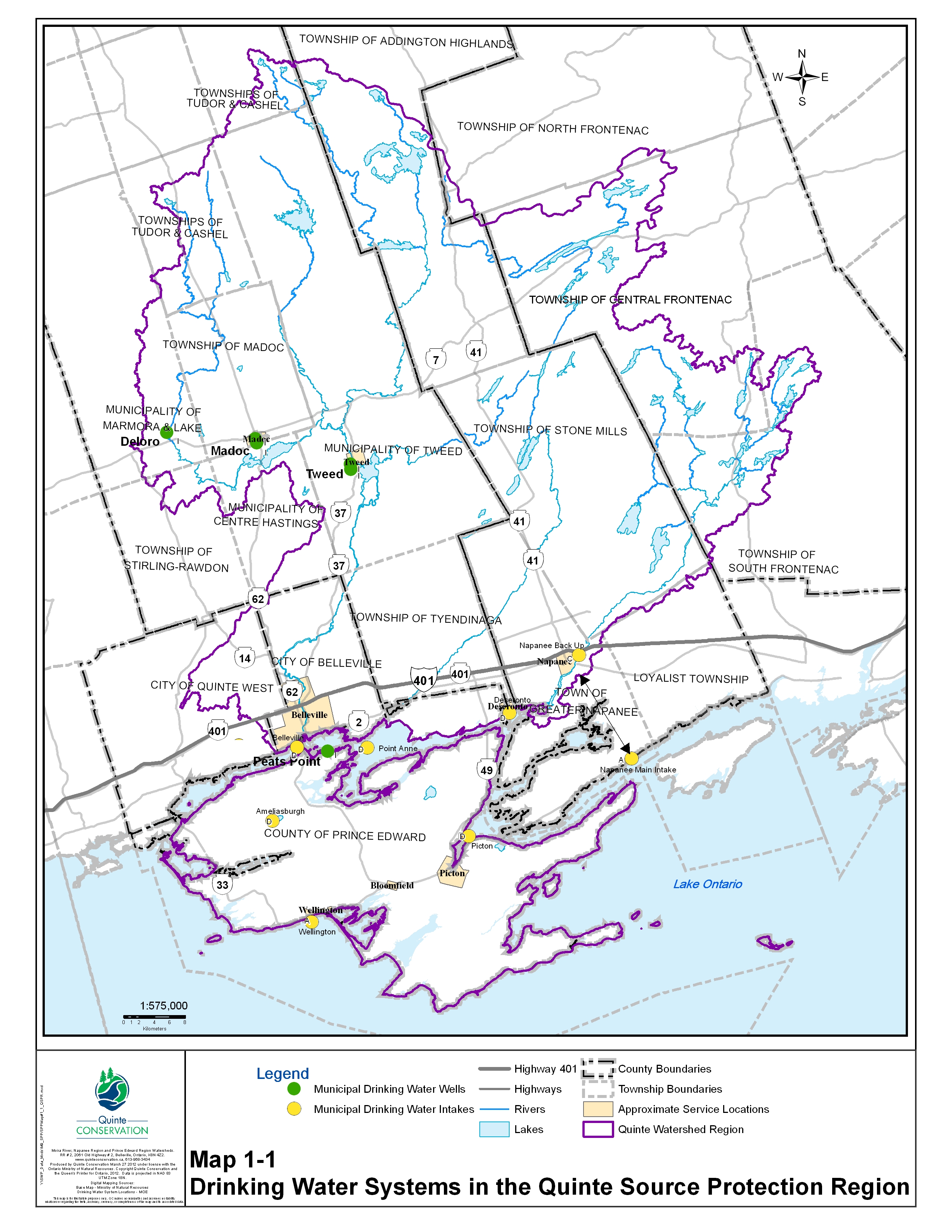
Land and water surrounding municipal water sources can be vulnerable to contamination and pollution. The sensitive areas around municipal wells are called Wellhead Protection Areas or WHPAs and around municipal intakes are called Intake Protection Zones or IPZs.
Our activities in these identified sensitive areas can pose a threat to the quality and quantity of the drinking water sources.
Wellhead Protection Areas: A wellhead protection area is the area above and below ground, surrounding a municipal well that supplies a municipal drinking water system. It is the area through which contaminants may move toward and reach the water well.
Intake Protection Zones: A surface water intake is the structure (pipe) through which surface water (water from lakes, rivers and bays) is drawn in for drinking water. The surface water intake protection zone is the area of land and water surrounding the intake pipe(s) that may be vulnerable to contamination.
Drinking Water Protection Zone Road Signs have been erected in the Quinte Region where well-used roads cross the most vulnerable areas surrounding our municipal water sources.

WELLHEAD PROTECTION AREA AND INTAKE PROTECTION ZONE MAPS
These vulnerable areas were mapped as part of the technical work for the Assessment Report. Policies were developed to protect them in the Source Protection Plan.
See the Policy Information Maps to see what policies will apply to some common activities near municipal water sources.
View and/or Download Vulnerable Area Maps:
Peats Point Wellhead Protection Area
Deloro Wellhead Protection Area
Tweed Wellhead Protection Area
Madoc Wellhead Protection Area
Point Anne Wellhead Protection Area *
Point Anne Intake Protection Zones 1 & 2 *
Ameliasburgh Intake Protection Zones
Picton Intake Protection Zones 1 & 2
Wellington Intake Protection Zones
Belleville Intake Protection Zones 1 & 2
Deseronto Intake Protection Zones 1 & 2
Napanee Intake Protection Zones 1 & 2
Bayside Intake Protection Zones 1 & 2
* Point Anne has an intake in the Bay of Quinte that leads to a well on land which is under the influence of surface water, so for Point Anne both a Wellhead Protection Area and an Intake Protection Zone were mapped.


