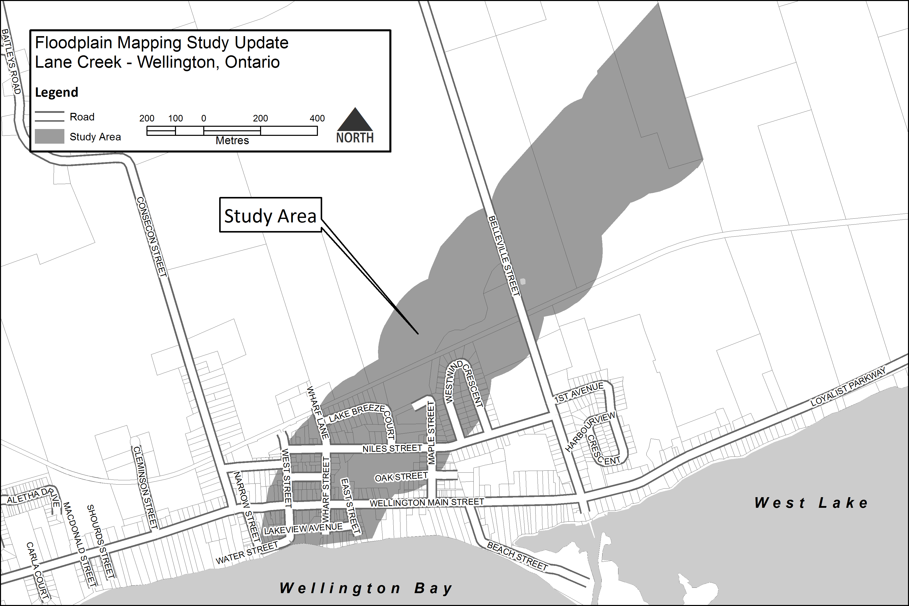
Lane Creek Floodplain Mapping Project
Click here to view map for Lane Creek Floodplain Mapping Project
Introduction
Quinte Conservation is seeking public input on the update of floodplain mapping for Lane Creek in the Village of Wellington. This update looks at changes that have occurred in the watershed over the last 43 years as well as changing climate conditions.
The mapping will be used by the Municipality and Quinte Conservation to help protect people and property from damages associated with flooding. This project is being funded by the Municipality of Prince Edward County and the National Disaster Mitigation Program to update the original mapping completed in 1979.
The information session will include a presentation by Jewell Engineering
followed by a question and answer session with Quinte Conservation.
Questions can be submitted at the time of registration.
Date: Wednesday, March 2, 2022
Time: 6:30 pm
Location: Zoom
RSVP by February 28, 2022 at QuinteConservation.ca to receive the zoom
invitation link.
For information and questions, contact:
Mark Boone, Project Coordinator
mboone@quinteconservation.ca or 613-968-3434 ext. 120


