- Hiking
- Picnicking
- Wildlife photography
- Dog walking (dogs must be leashed at all times)
- Birding
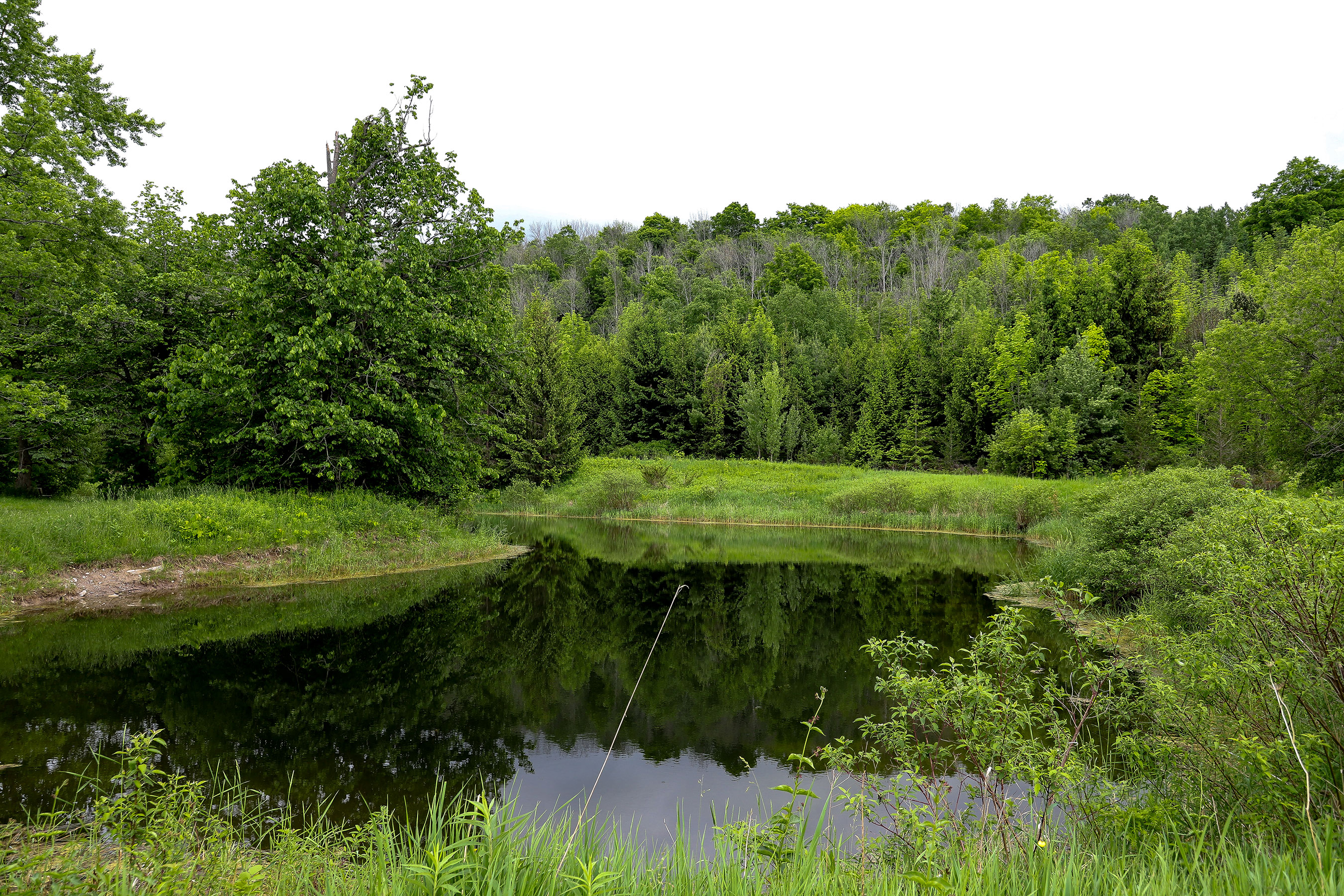
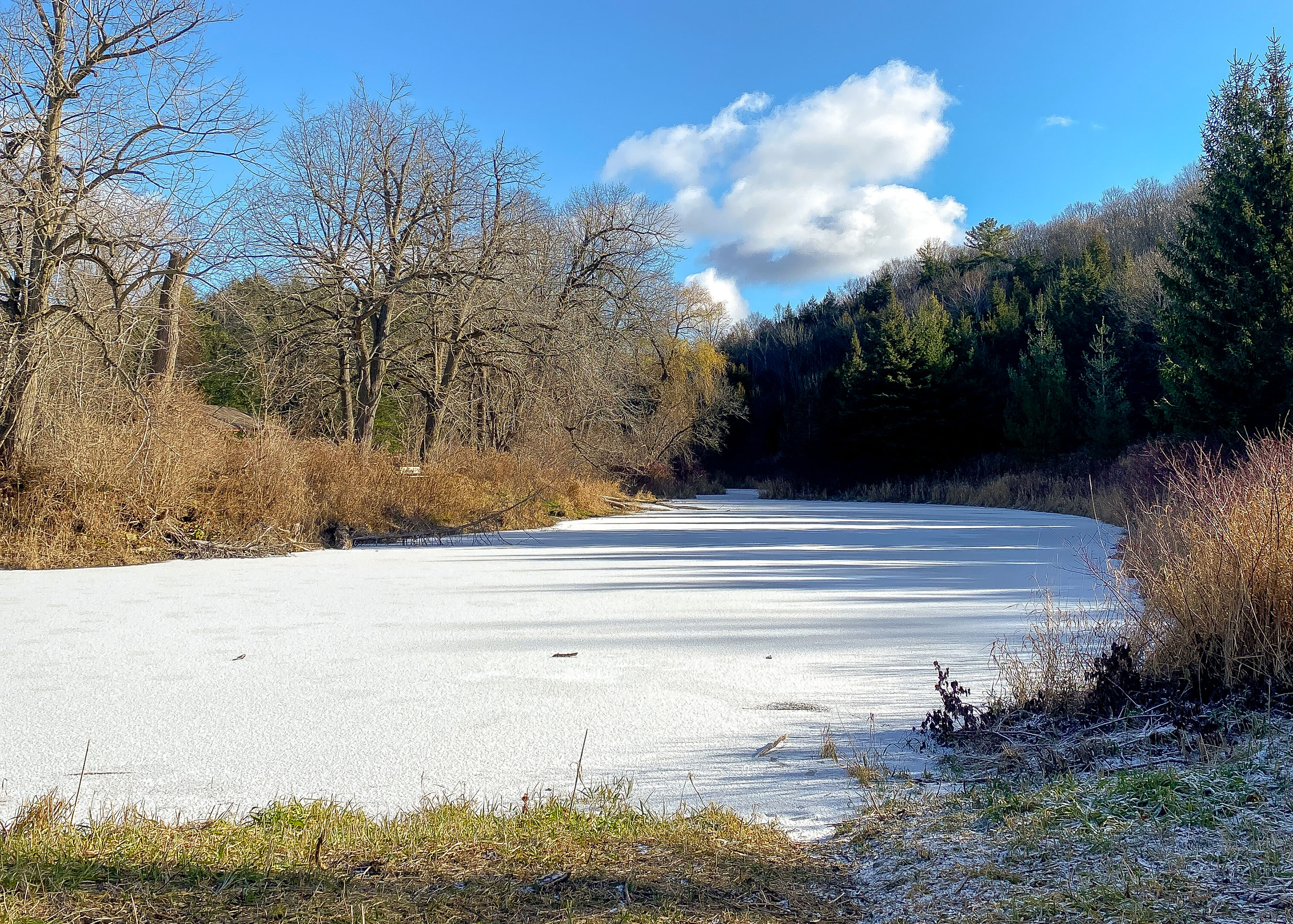
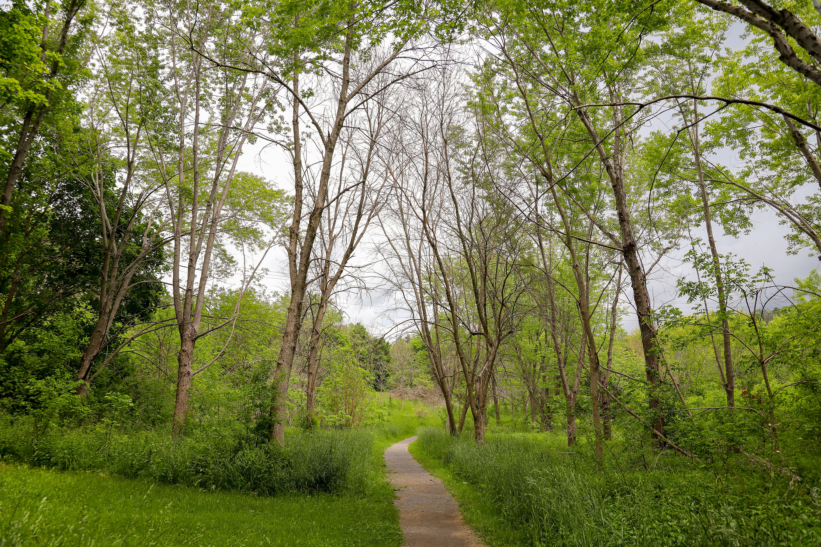
Macaulay Mountain Conservation Area
Macaulay Mountain Conservation Area at 224 County Road 8 in Picton, ON is home to a steep escarpment overlooking the Town of Picton.
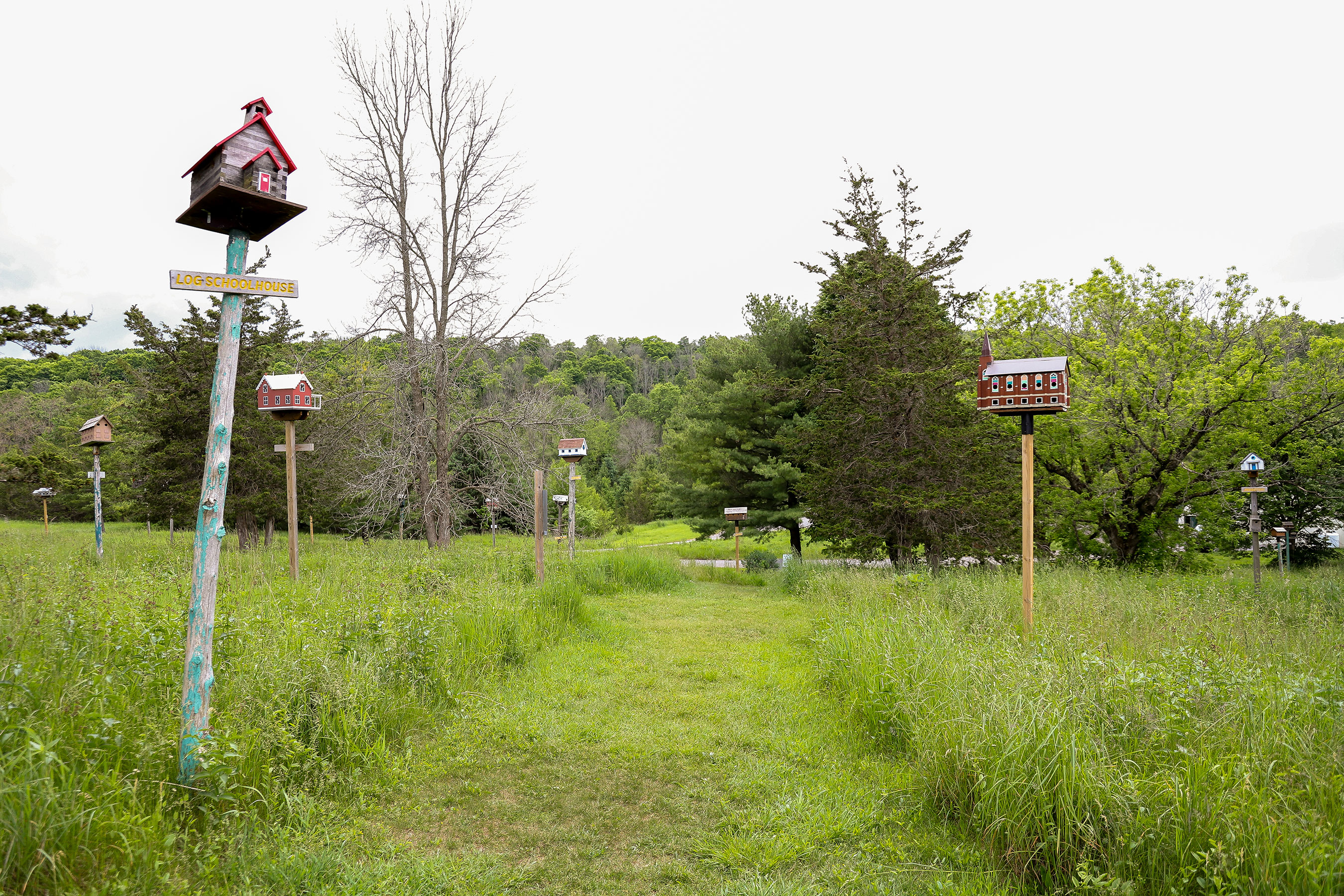
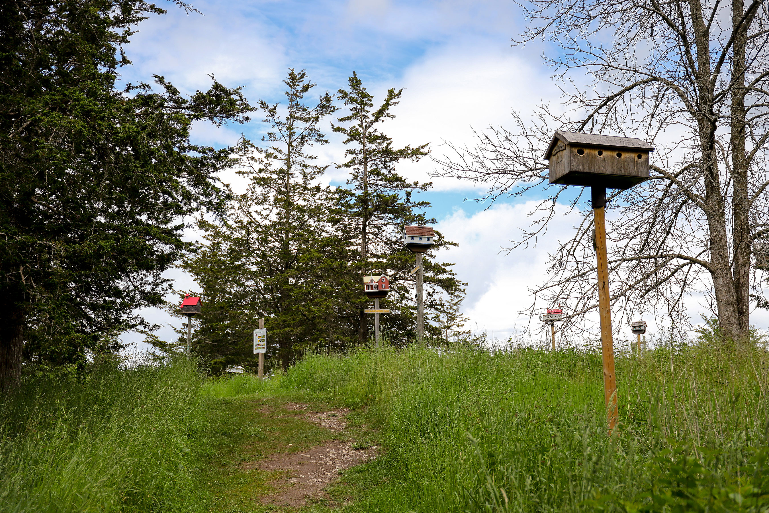
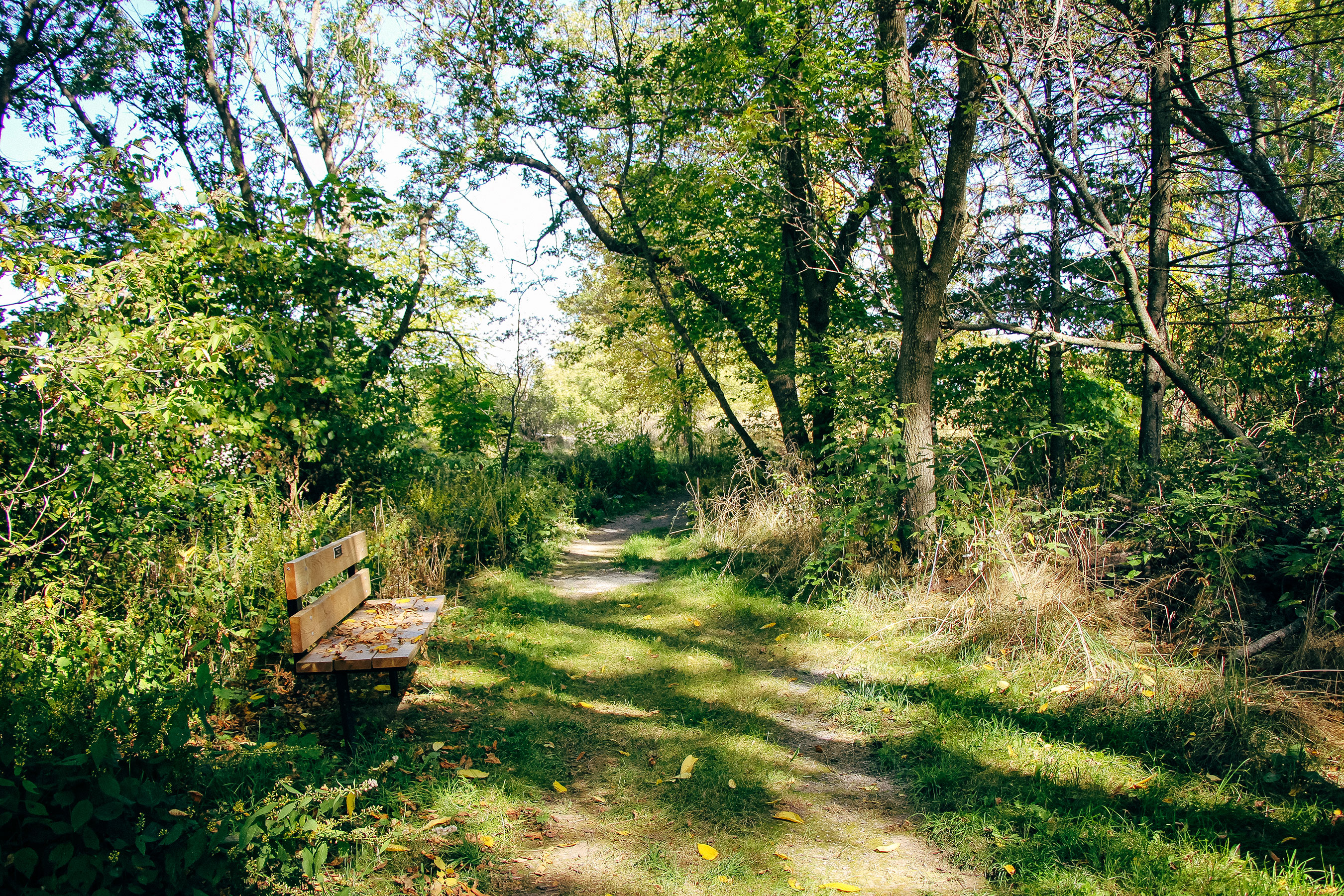
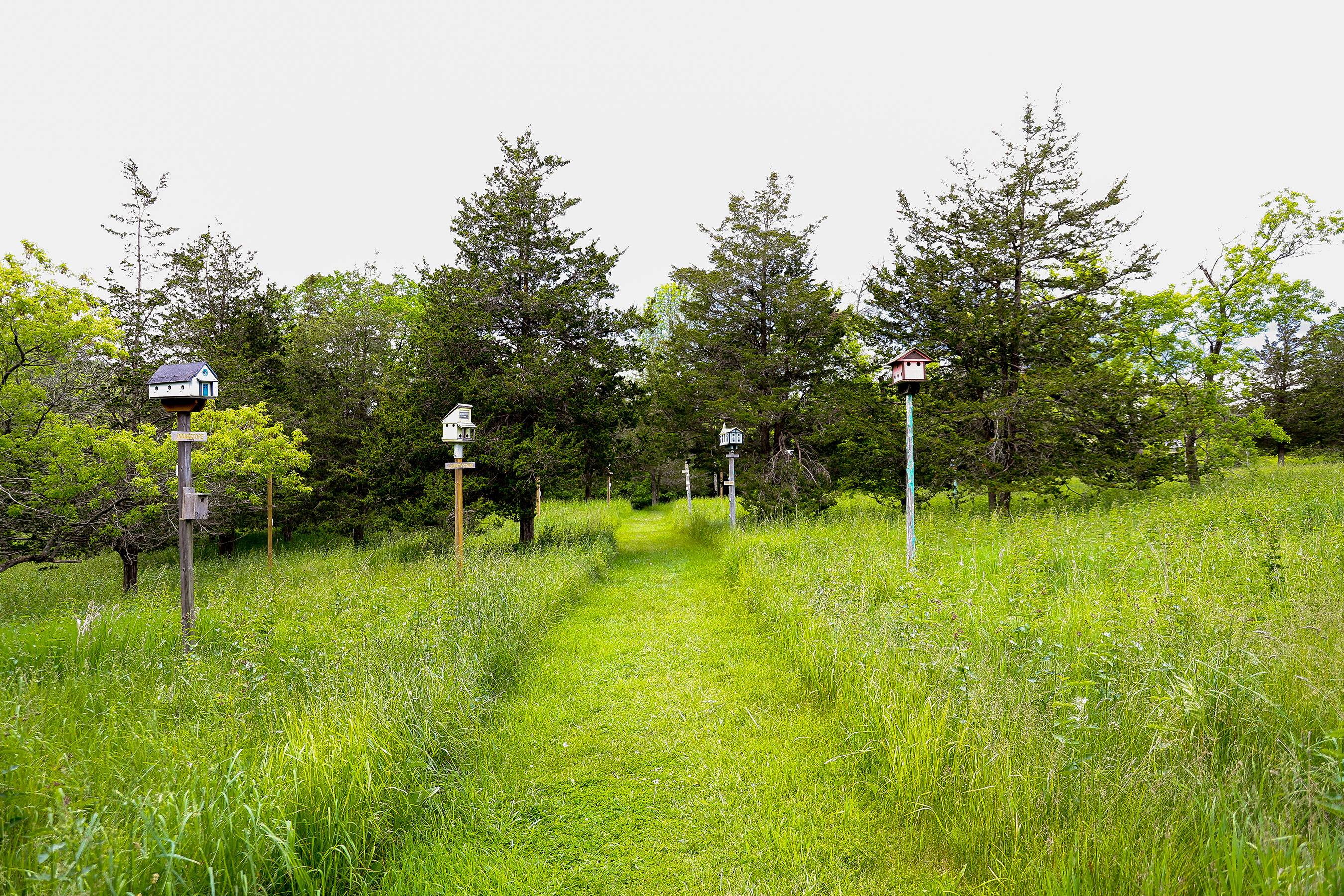
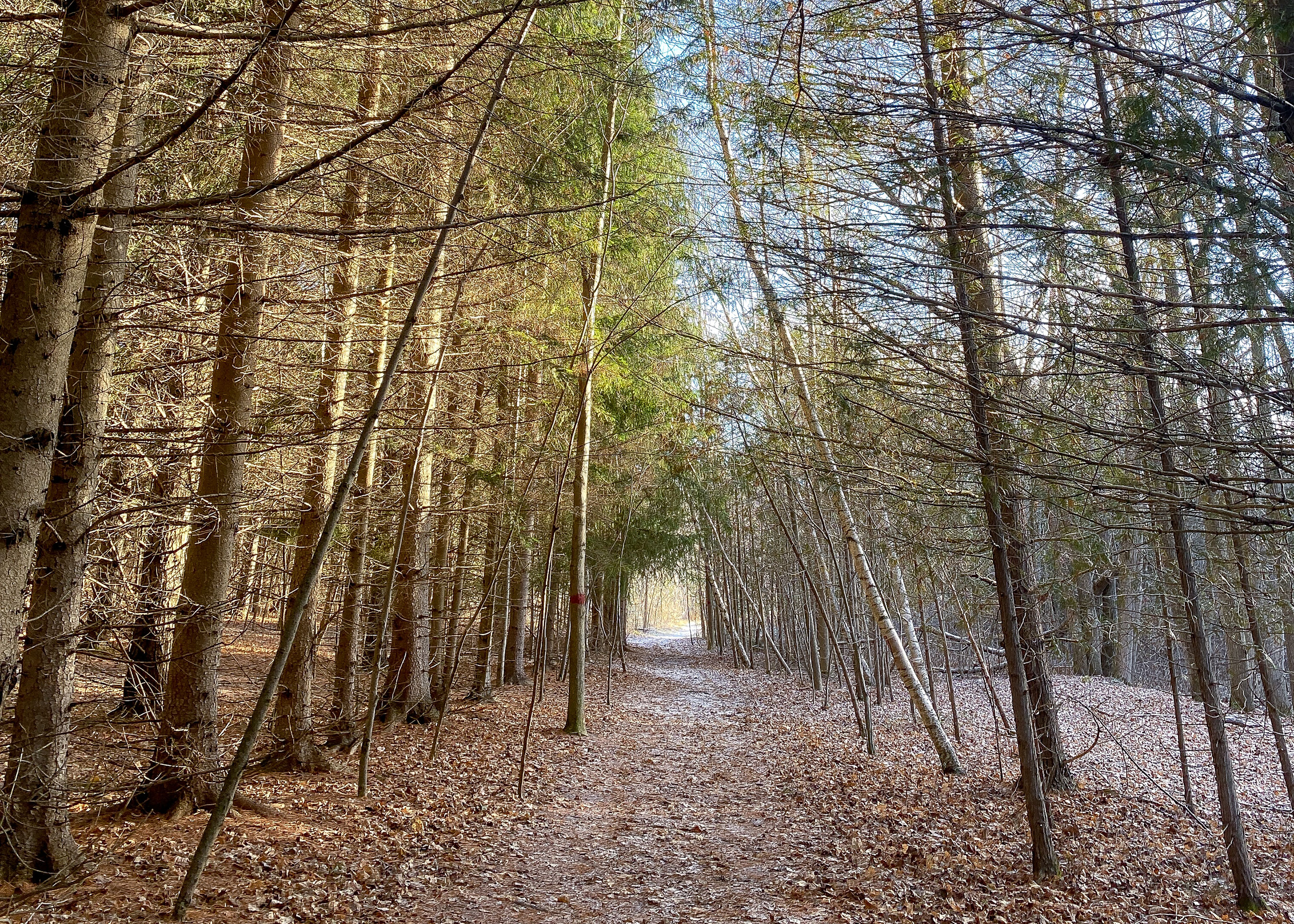
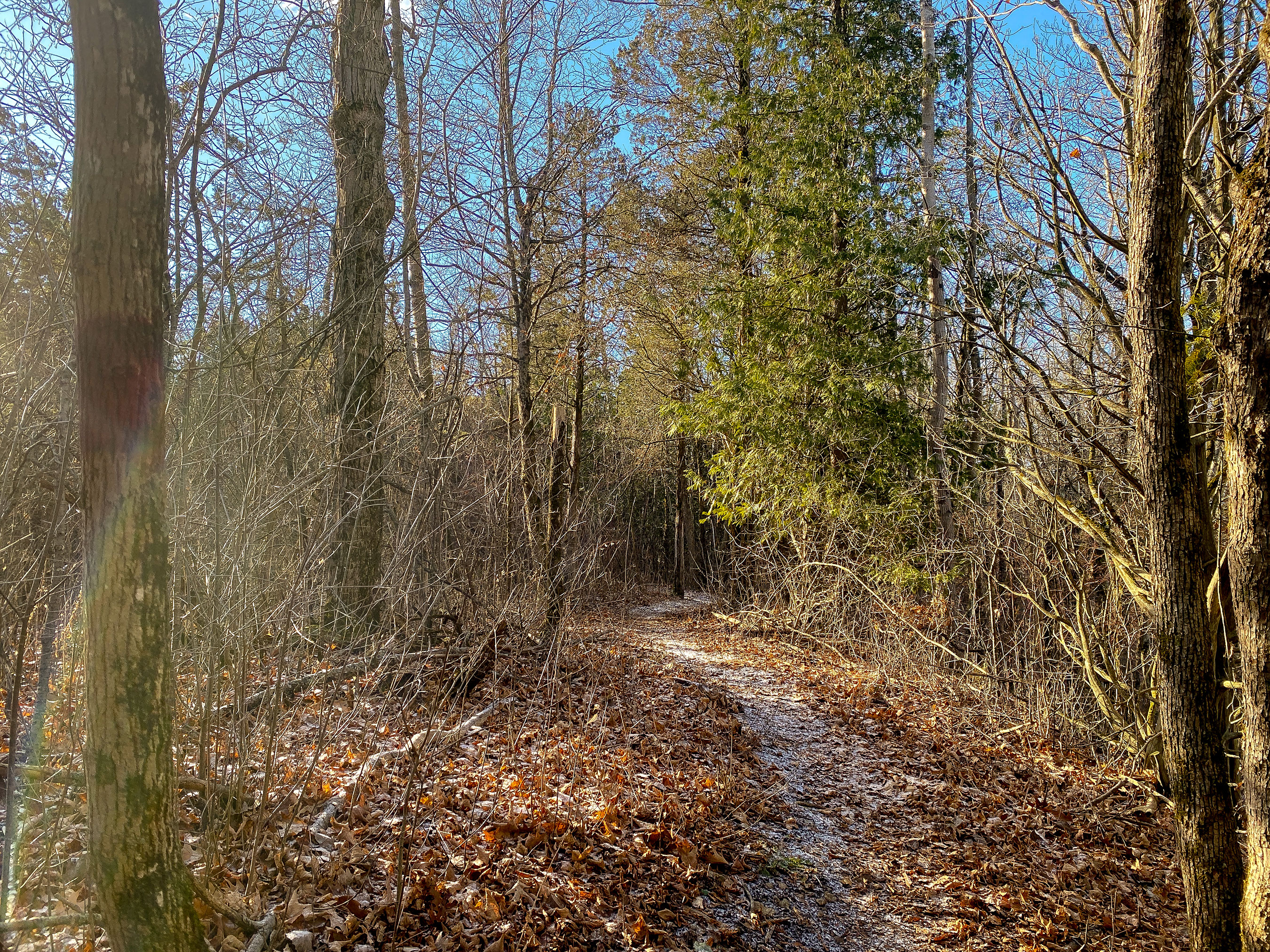
Explore Macaulay Mountain & Birdhouse City
This area contains over 7 km of trails including a walkway and Birdhouse City.
Things to look for:
- Parking lot
- Picnic shelter
- Outhouse
Beginner Trails - 0.7 km
- Relatively even terrain
- Wide trail
Intermediate Trails - 2 km
- Some elevation gain
- Some steep sections
- Uneven terrain
Advanced Trails - 4.9 km
- Elevation gain
- Several long, steep sections
- Rough terrain with muddy sections
- Seasonal wet/water crossings
- Narrow trail
Things to keep in mind during your visit
When visiting Quinte Conservation's areas, please make sure to:
- Keep your pets leashed and clean up after them at all times
- Stay on marked trails
- Take everything with you, including your pet's waste – there are no garbage bins
- Never remove natural items
Please note:
- Areas open at sunrise and close at sunset
- Overnight camping is not allowed
- Alcohol is not allowed
- Campfires are not allowed
Cross-country trails and motorized vehicles
The cross-country skiing trails are not groomed and motorized vehicles are not permitted outside of designated parking areas. This includes, but is not limited to:
- All-terrain vehicles and dirt bikes
- Motorized or electric bikes
- Snowmobiles
- Cars and SUVs
- Motorized aerial devices such as drones


Parking
You must pay to park at this conservation area. There is a daily parking pass that you can use between areas. A daily pass is valid on the day of purchase. Annual parking passes are also available.
Visit our parking page to learn more.