- Hiking
- Cross country skiing and snowshoeing
- Birding
- Wildlife photography
- Dog walking (dogs must be leashed at all times)
- Passive Biking - Passive Biking is recognized by Quinte Conservation as the activity in which individuals on bicycles traverse designated trails outlined by QC at a leisurely pace that would not pose a danger to trail users or wildlife, and would have minimal environmental impact.
Beaver Meadow Wildlife Area
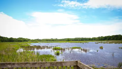
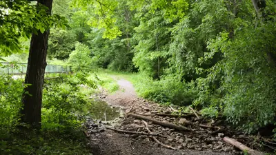
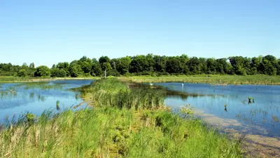
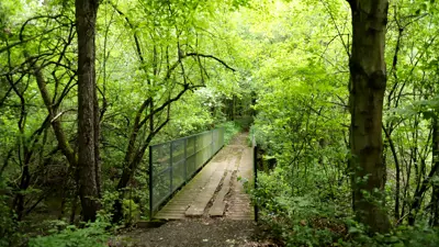
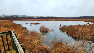
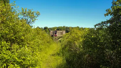
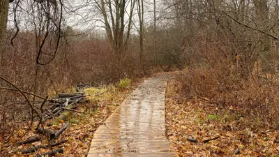
Perfect for plant and bird enthusiasts, Beaver Meadow Conservation Area at 158 County Road 11, Picton ON has two short hiking trails, each ending at a wetland viewing platform. This area is home to a variety of wildlife and approximately 330 plant species.
Status: Road and parking lot closed for the season.
Explore Beaver Meadow
The area was a farm during the early 1900s that grew celery, mushrooms, and sugar turnips. The farm also produced maple syrup, raised chickens, condensed milk, and sold wood.
Things to look out for:
- Wildflowers like Wild Ginger, Baneberry, and Jack-in-the-pulpit
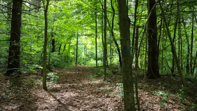
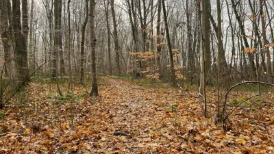
- Deciduous trees like White Birch, American Beech, Black Walnut, Butternut, Shagbark Hickory, and Maple
- Songbirds
- Wetland residents like Beavers, Blue Herons, and Osprey
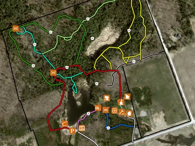
- Two wetland viewing platforms
- Lookout
- Parking
- Picnic Table
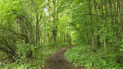
Beginner Trails - 1.7 km
- Relatively even terrain
- Wide trail
Things to keep in mind during your visit
When visiting Quinte Conservation's areas, please make sure to:
- Keep your pets leashed and clean up after them at all times
- Stay on marked trails
- Take everything with you, including your pet's waste – there are no garbage bins
- Never remove natural items
Please note:
- Areas open at sunrise and close at sunset
- Overnight camping is not allowed
- Alcohol is not allowed
- Campfires are not allowed
Cross-country trails and motorized vehicles
The cross-country skiing trails are not groomed and motorized vehicles are not permitted outside of designated parking areas. This includes, but is not limited to:
- All-terrain vehicles and dirt bikes
- Motorized or electric bikes
- Snowmobiles
- Cars and SUVs
- Motorized aerial devices such as drones
Parking
Parking is by donation. Donations support trail maintenance, infrastructure upgrades/repairs, and improvement projects.
Visit our donation page to support Beaver Meadow Conservation Area.
*Seasonal Closure
Beaver Meadow is closed for parking from December (date varies with first large snow fall) to March/April (date varies with frost/spring conditions). Winter conditions present safety concerns, and road repairs during this period are beyond Quinte Conservation's capacity. Spring conditions cannot support vehicle traffic. Visitors can still access this area by walking in.
See an issue?
Help us keep our outdoor spaces clean and our wildlife safe!

